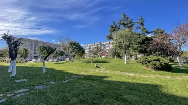
The district of Bakırköy is located between the E-5 Highway with Güngören and Bahçelievler districts to the north, the Sea of Marmara to the south, the Çırpıcı Stream with Zeytinburnu District to the east, and Küçükçekmece district to the west and northwest. The streams in the Bakırköy district are: The Ayamama Stream is approximately 3500 meters long. The Siyavuşpaşa Stream is 2400 meters long within our district boundaries. The two branches of the Çırpıcı Stream are approximately 5400 meters long. Due to its location on the seaside, Bakırköy has had important ports throughout history, serving as a lively port area in terms of maritime trade and fishing. With its historical texture, old buildings, churches, and monumental structures, it offers a rich cultural heritage to both locals and visitors.
The population of the Bakırköy district is 220,476.


